Geopainting GPSMapEdit 2.1.78.8 Fix 11
This post was published 9 years ago. Download links are most likely obsolete. If that's the case, try asking the uploader to re-upload.
Geopainting GPSMapEdit 2.1.78.8 Fix 11|Windows|18.2 mb
This software is designed for visual authoring of GPS-maps various proprietary cartographic formats
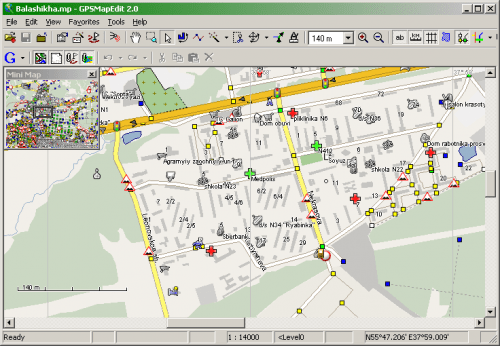
Geopainting GPSMapEdit - this software is designed for visual authoring of GPS-maps in various proprietary cartographic formats such as Garmin, Polish format, ALAN Map 500/600, Holux, Navitel Navigator. GPSMapEdit is designed to help owners of Garmin, ALAN, Holux and Navitel Navigator. GPS receivers to create own maps. The software allows to quick loading and viewing vector maps in so-called "Polish format", comparing them with different geodetic data like raster maps, GPS tracks and waypoints.
In addition, the software may be used for converting GPS-tracks, waypoints and routes among various formats. GPSMapEdit does not have installer now. The program installation does not require special efforts because the software is ready to run. Just download the latest version and unzip it into any suitable folder.
Features
- Visualization of satellite images from Google Maps.
- Loading of huge raster maps (format OziExplorer MAP) - over 20-30 megapixels.
- Loading ECW and JPEG 2000 raster maps.
- Import from MapInfo MIF/MID.
- Export to MapInfo MIF/MID.
- Import POI from external table file with address data, the formats are: CSV, MS Excel XLS, MS Access MDB, dBase DBF, Paradox DB, Visual FoxPro.
- Splitting map to smaller files (the menu 'Tools | Split map to files...').
- Saving to CRD format (ALAN Map 500 and Holux).
NEW
Fix: Loading tiles from Google Maps, Bing Maps, deCarta, Navigasi.net and Yandex Maps.
Fix: Additional columns "StartNodID" and "EndNodID" added to polylines table for the default schema of ESRI shapefiles export.
Fix: Loading ECW and MrSID files based on the coordinate systems EPSG:3785 and EPSG:3857 (thanks to: 13slonik).
Fix: 'Tools | Generate Routing Graph' now again works (thanks to: Jorge R. Rocca).
Fix: Loading routing graph from Garmin IMG files (thanks to: MapTk).
Fix: Export of direction kind for iGO and Navitel safety alerts (thanks to: Andronio).
Fix: Applying the context menu item 'Paste Here' to bookmarks.
Fix: Loading point type 0x0000 from map skins (thanks to: MapTk).
Fix: Showing some of custom types from Garmin map skins (thanks to: fancheng).
Fix: Parsing polylines with first transparent color of pattern from map skin Garmin TXT (thanks to: Mail4ma).
Enhancement: New Web map is supported - deCarta (thanks to: Сергей Тяжов).
Enhancement: New Web map is supported - Navigasi.net (Indonesia) (thanks to: Zeppy Shiddiq).
Homepage
System Requirements
IBM or compatible Pentium/AMD processor (900 MHz or greater), 512 MB RAM or greater. 1024 x 768, 16-bit display (32-bit recommended)
Windows XP, Windows Vista all SP, Windows 7, Windows 10
Language Multilanguage(Russian English)[/b]